Day 33. Cambridge
83 miles 1,135 feet
I packed up and left my Bowlus camp early and had an elegant breakfast sandwich at the only place open: the local gas station. I then followed the advice from Jordie Stay, the bike hostess in Bowlus, and headed north to cross the Mississippi on the Lake Wobegon trail to have a better view than I would on the ACA route. It was a few miles longer but worth it. The river is big, and passes over a dam just upstream from the pedestrian/bike bridge. The Mississippi is not only a spectacular river, it is also symbolic to me as the center of our country. The Smith Tower in Seattle was once referred to as the tallest building west of the Mississippi, for example. I've been descending into its drainage since Logan Pass in Glacier, and now I'm on the other side. (Actually I'll cross it several times and follow its course for several days.)
Then I left the protected bike paths and traveled on roads with variable shoulders. This went well until detour signs started appearing. Summer is road project time and this is to be expected but it brings more angst for a bicyclist since detours are designed for vehicles. For example, the last detour wanted me to enter the freeway for 5 miles, exit, then reenter the freeway for 5 miles to exit opposite of where the detour started. This is easy for a car, but harder for a bike.
So today I was leery of the detour sign but followed it, looking for an opportunity to cut left to the road I was supposed to be on, but the roads that connected the detour road with the original road were marked "Road closed." The then detour itself had a "Road closed" sign. So what to do? I was checking options when an 18 wheeler turned into the dirt road I was pondering taking and proceeded despite the road closure sign. I signaled asking if it went through an he nodded yes. So I followed down a dirt road until he was out of sight. I got to the original road and saw there was construction activity and was unsure if it would be possible to take it south as I intended. While I was checking Google Maps I heard the clap clap of horse hooves and saw an Amish family in a cart heading where I was hoping to go. I asked them if we could proceed and the man said yes, the worst construction was now passed. So I followed them in the southerly direction and eventually emerged 20 miles from my intended destination, Cambridge. So the Amish family did what Google Maps couldn't: establish real-time closure information in a construction zone.
I feel some kinship with the Amish. They ride horse-drawn carts and I bicycle. Neither of us drives and we're in a world designed for cars and trucks.
So I missed out on some sections Northern Tier maps had in mind because of the construction but so be it. I did reach my motel, had dinner and here I am.
It was hot but not unusual by midwestern standards: 80-85 with 56 percent humidity. I stopped often at gas stations and stores for cool drinks and took it easy. Pulled in to the motel about the usual time, but could have been earlier were it not for the detours. I'm going to start shifting to earlier morning starts and finishing earlier in the afternoon.
Tomorrow to Stillwater, the last long ride before 28 miles in to Minneapolis for a day off!
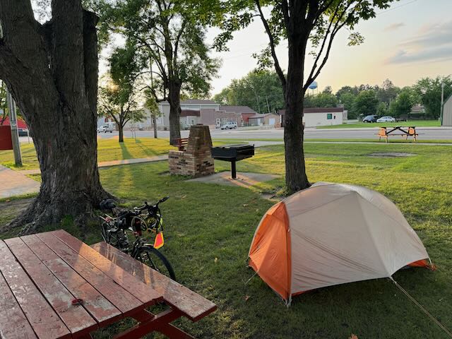
Camp in the Bowlus city park
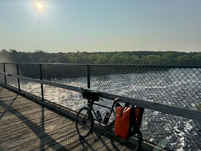
Crossing the Mississippi, with all that symbolizes
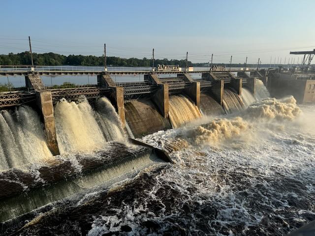
The Mississippi
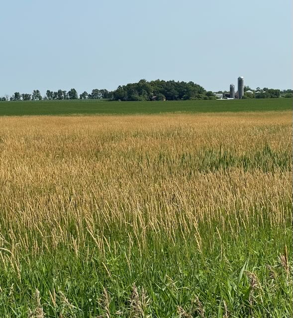
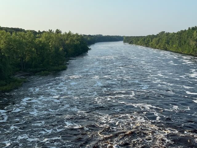
Lots of scenes like this in Minnesota
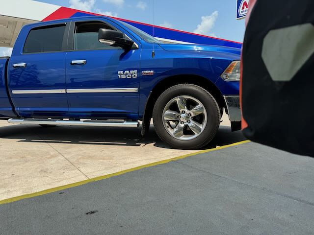
Lots of these too. Megatruck next to my bike at truck stop
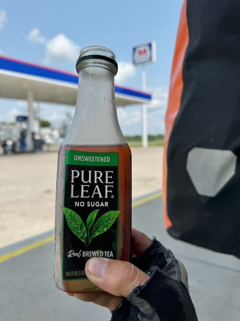
Having lots of cool drinks. It's amazing how much fluid I consume during the day in 85 degree weather.
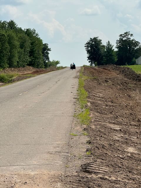
Amish family guiding me through the construction zone. (I understand that if you can't see faces it's OK to take pictures of Amish—let me know if this isn't true.)
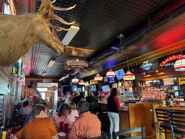
Local Cambridge MN watering hole
