Day 56. Lockport
80 miles 1,483 feet
My very basic motel didn't include breakfast so I rejoined the ACA route and went hunting in Hamburg. I found a Tim Hortons that was open early and it had coffee and a breakfast sandwich so I was set. I met a father (75) and son (50s) who were very interested in my trip and we spoke for quite a while. The younger was interested in ACA which I heartily endorsed. It occurred to me that I threaded the needle between the 50s and the mid-70s. Earlier and I wouldn't have enough time to make this trip and later it would be harder.
I followed the ACA route through Buffalo and you wouldn't know that I passed through an industrial city of over a quarter million people. There were a few construction-related detours but I found my way to the Peace Bridge to Canada. Canadian customs were quick and then I was off on the Niagara River Parkway along the Niagara River. The bike trail patched access roads with constructed bike paths and was removed from what little traffic there was on a rainy Saturday morning. It was a little bumpy—not up to Minnesota standards, but passible.
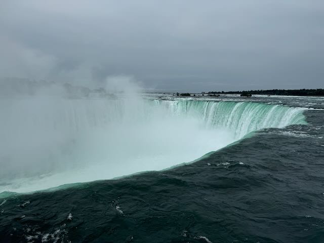
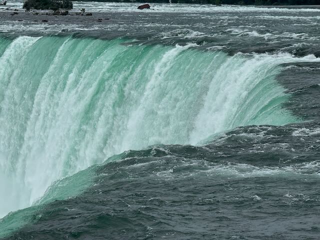
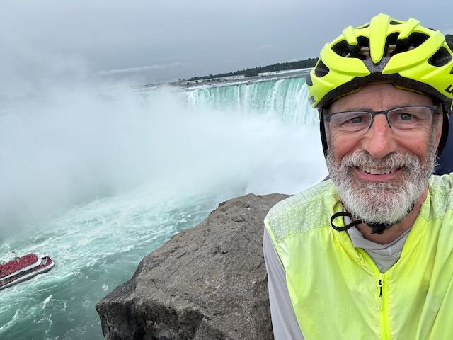
Before long, after a quick lunch, the path took me to the falls viewpoint. It is as amazing as they say. It is a wall of water with clouds of mist rising from the cauldron. Truly remarkable. There were lots of folks watching and I had to wait my turn to get close enough for photos and a selfie.
After taking it in, including time with my phone put away, I rejoined the road to follow the ACA route north. My goal was to cross back to the US on the Lewiston-Queenston Bridge but I erred and started in the traffic to the Rainbow International Bridge before I corrected. On arriving at the correct bridge, I followed the signs for bikes to return to the US and learned, with some nice Canadian help, that I was to merge with the US-bound traffic stream. Unlike the Peace Bridge there is no pedestrian or bike lane. Bikes mix it up with the traffic mass. I intercalated between two cars and spent an hour waiting for my turn for US customs. The US customs officer was brusque, disinterested, and a marked contrast to to the friendly Canadian counterparts. It is not a great first impression for those visiting the US. I remarked that I didn't see many bikes in the mass of cars, but no response. It was a dramatic demonstration of how bikes are outliers in North America.
After the border crossing it was a straightforward 20+ mile ride to Lockport for the night and an excellent dinner at a nearby Mexican restaurant.
Since the ACA routes cleverly find bike-friendl-y (-ier) routes, how do I follow them? There are lots of direction changes to follow, each for a good reason but still a little tricky to follow. My system is that I have the active printed ACA map segment on the top of my handlebar bag. It includes queues for turns and is a great start. I also have my Garmin displaying a map. If the ACA map says turn right on Smith street, the Garmin map shows me when Smith Street is coming up. I also have the Bicycle Route Navigator app on my iPhone which shows the route and the blue dot of my current location. I use this to verify I am on course. Lastly sometimes I pull out Google Maps, for example to find breakfast restaurants open now. If you want a turn-by-turn Garmin map which some organized bike tours provide, you have to create it yourself with Garmin tools. I did this for my first day but it would be an enormous effort to do so for the entire trip.
So that's my 4 part navigation system and it works quite well for me. I didn't download the GPX files from ACA, which one can do and then have the route in your Garmin device. I'm curious if anyone reading this has done so—please let me know.
Tomorrow east on the Erie Canal to Pittsford and meeting my cousin! This map shows my progress.
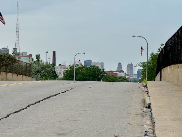
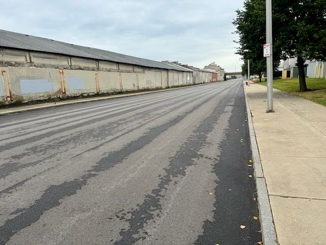
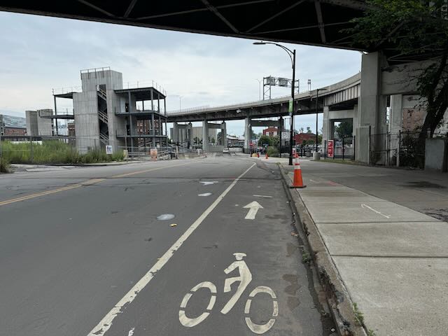
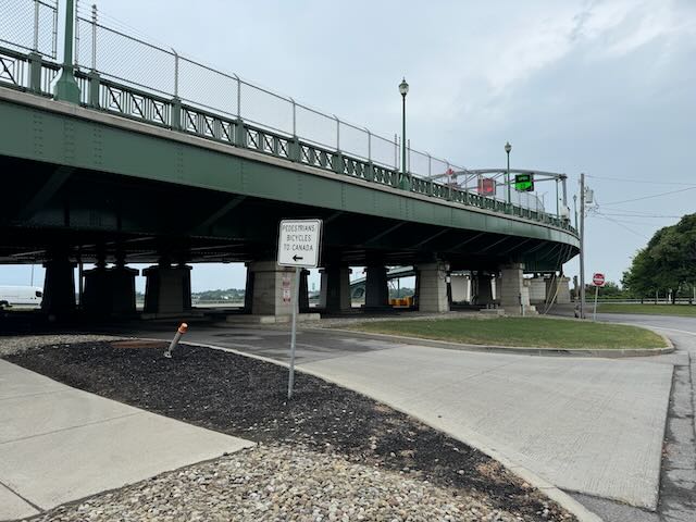
Scenes biking through Buffalo. Not crowded at all.
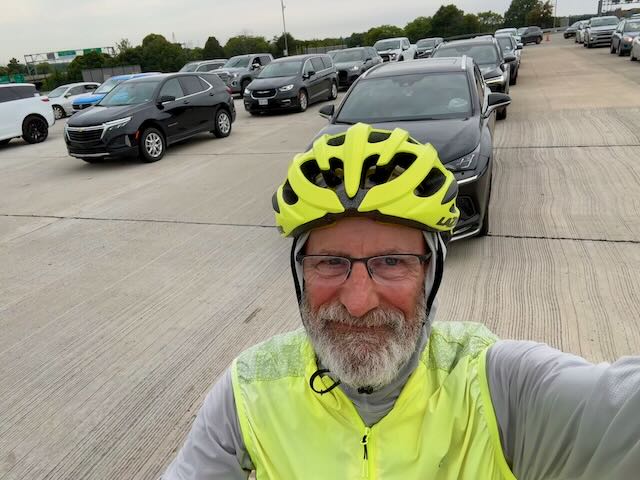
Waiting my turn for US customs in a sea of cars and trucks.
