Day 30. MINNESOTA Moorhead
79 miles 794 feet
I packed up from my camp and headed east to Enderlin, the eastern end of the limited services zone and first place with a restaurant and store. I was soon greeted by older men enjoying coffee and the town restaurant, and before long a woman introduced herself as the town bicyclist greeter. She was a wonderful person and font of information. What I remember: The local area was first populated by immigrants from Scandinavia and from Germans living in the Ukraine. The beautiful fields of yellow I've been seeing are actually canola (rapeseed, Brassica napus). North Dakota is one of the least visited states in the union. She describes it as a socialist state, with healthcare, care for elders, and education prioritized and supported. Many people from Canada come to ND for healthcare, to have their babies and the dual citizenship that comes from that, and to shop, especially when the exchange rate is favorable. There used to be more bicyclists coming through but after Covid numbers were reduced. The young woman serving me breakfast is going to medical school!
I spent an hour learning about North Dakota—that was one of the reasons for this trip, to better understand the northern midwest—and then shopped in Dollar General for the first time. The last Amazon truck I saw was in western Montana; Dollar General is very common in these small towns. I had a big breakfast, a chocolate Rice Krispies bar at her recommendation, replenished my snacks, and headed east.
It was flat but became even flatter on descending the escarpment to the Red River Valley. The Red River and its tributaries are worm-like in their course, or tortuous as we say in medicine, because the terrain is so flat that they meander. I remember seeing the Red River while flying over and taking pictures of it, wondering why it was so meandering while the Missouri and Mississippi were so direct in their course by comparison. The answer is that the Red River flows through the former lake bed of glacial Lake Agassiz which is now as flat as the Skagit Valley in Washington state. At its peak Lake Agassiz was larger than all the Great Lakes combined.
What do rivers mean to cyclists? On the highest level they determine general slope such as the general drop to the Mississippi from the Rockies. At the middle level when we cross rivers perpendicularly we descend and then have to climb up the other bank. This happened a lot from the Cascades to eastern North Dakota. And and the lowest level when we are following a river, we either benefit from the downstream slope or have go gradually ascend when the bike route is parallel to the river's course. Since rivers contribute so much to landscape, they influence how much work it takes to cycle.
I've mentioned I've seen lots of wildlife. Add to this what I think was a weasel, a thin long furry animal running across the road. I saw several very large road-killed raccoons, and some very large white birds on a large lake.
At the end of the day I was in the Red River Valley of the North which was flat and has very dark, rich-appearing soil. Because it is so flat—Fargo's elevation is 906 feet—the Red River winds and the road crosses it several times. Except when I needed a bridge to cross to Moorhead MN to my motel, the bridge was closed because of flooding. It floods a lot in this valley because of the reasons listed in previous links.
I eventually reached my motel, had a great dinner, and am now catching up. Tomorrow I plan my trip to Minneapolis to meet Amy on Saturday!
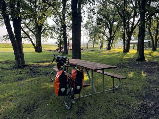
Leaving camp this morning.
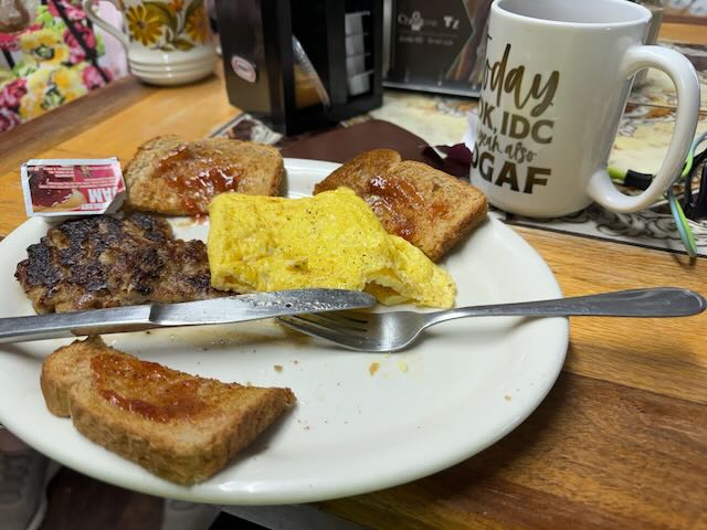
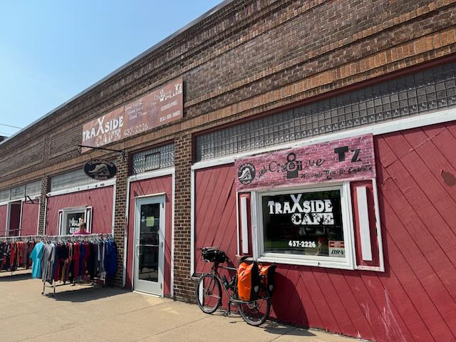
Where I learned so much about North Dakota from the cyclist greeter.
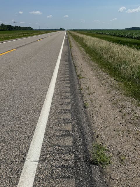
Take note ND DOT: This is not a good design for cyclists, with 2/3 of the shoulder taken up by rumble strip. I have to ride on the while line, not on the shoulder, so I'm closer to traffic which therefore has to move farther to the left.
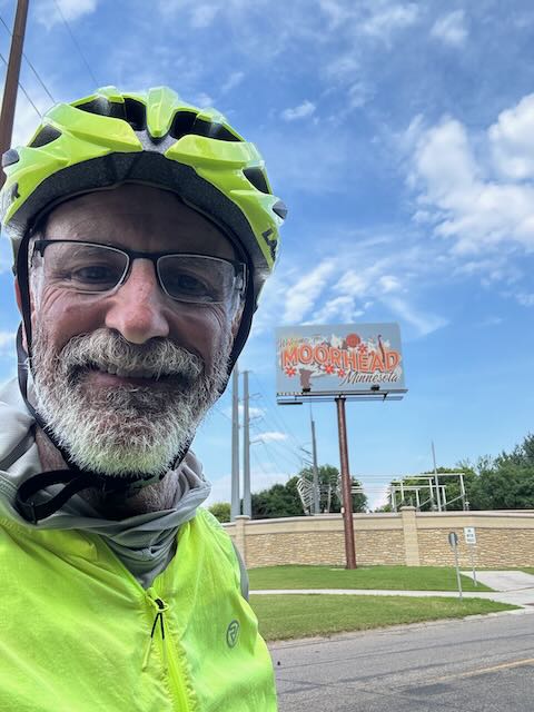
Entering Minnesota! The Welcome to Minnesota sign is on the freeway. Cyclists need to find alternatives.
