Day 40. IOWA Lansing
73 miles 1,089 feet
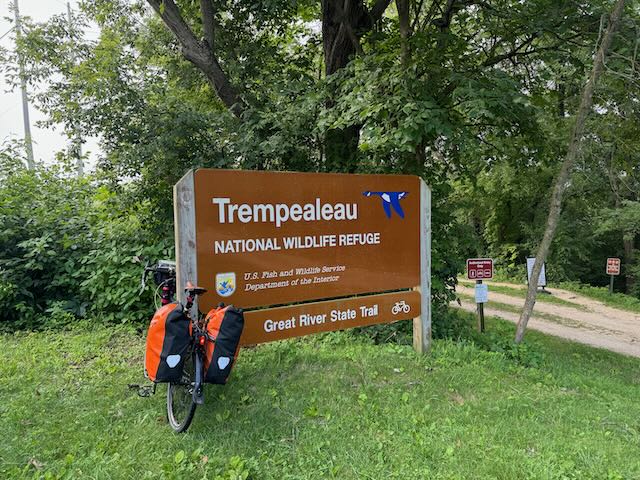
I started the morning biking through Winona's historic area to see the buildings for which the city is famous. I stopped at their renown donut bakery—Bloedow Bakery—but I'm not much of a donut fan and so passed on their offerings. I retraced my path on the bike route to the Great River Road and biked south. Soon the ACA route diverts to an unpaved path through the Trempealeau National Wildlife Refuge, a portion of which was submerged by the flooding Mississippi, but guided by a ranger I rejoined the path and continued for 10 miles through wooded wetlands. One could spend hours birding here—I saw a beautiful bright red bird I think is a scarlet tanager—but that was not my agenda for the day so I passed through with a few stops. One was at Trempealeau, a small town with a great coffee shop where I had a great conversation with The Station's owner, Shirley.
I spend a lot of time on the edge of the Mississippi over the last few days. What impresses me is how slowly it drops. La Crosse is 700 feet above sea level and 1,000 miles from the Gulf of Mexico as the crow flies. The Mississippi is a slowly moving lake.
Exiting the NWR I entered the city of La Crosse, Wisconsin, and followed ACA's route which avoided crowded streets. I exited back on the Great River Road and passed through several small towns before crossing the Mississippi again, this time on a scary bridge, into Lansing, Iowa.
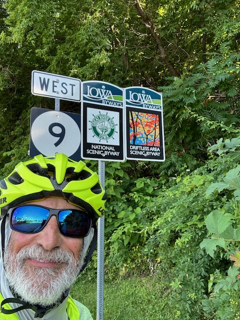
Local residents and roadside exhibits refer to the region I'm passing through as the shiftless region. As I've mentioned before, this means that recent glaciations missed it, and didn't flatten the terrain as they did elsewhere in Minnesota, Wisconsin, and Iowa. This means more hills and valleys. Tomorrow I start riding through them and gain and lose more elevation that I've encountered since the Rockies.
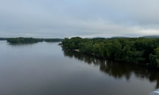
Early morning crossing of the Mississippi.
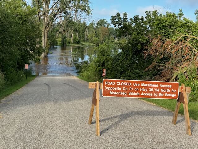
Though levels are dropping, Mississippi flooding still blocked my route.

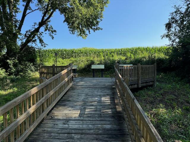
Display describing archeological discoveries: the mound culture.
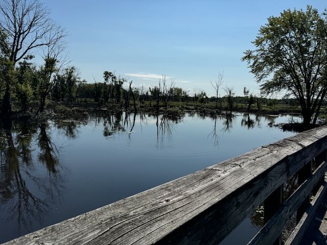
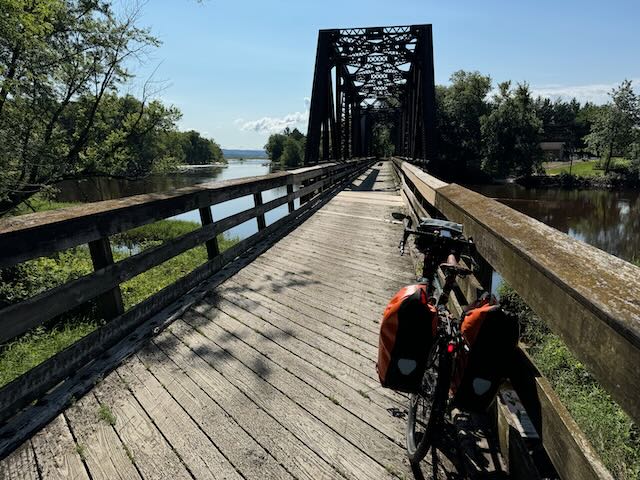
Trempeauleau National Wildlife Refuge scenes.
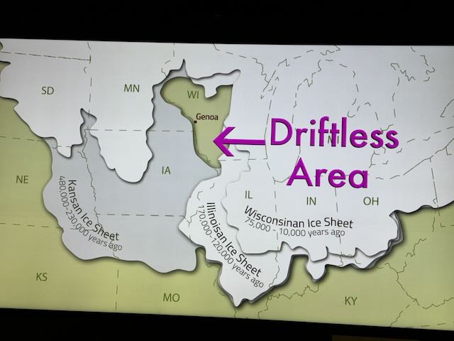
This shows why hills await me tomorrow.
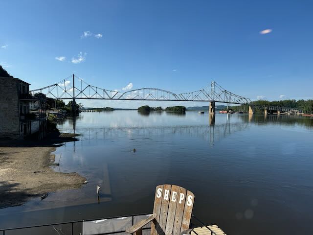
The bridge to Lansing, Iowa. No shoulder, steel grate bridge deck.
