Day 41. Elkader CG
59 miles 2,920 feet
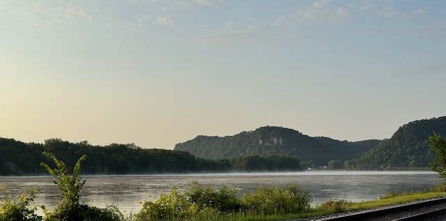
This corner of Iowa is hillier than most of the state, but after an early start and several climbs I ended up on a plateau that was quite flat. Turns out glaciers did reach this region. The NPS naturalist at the Effigy Mounds National Monument explained this in detail.
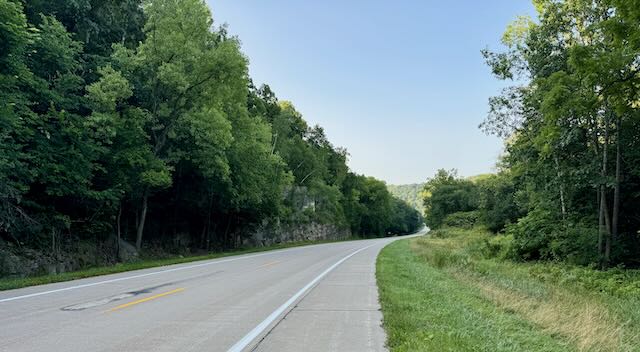
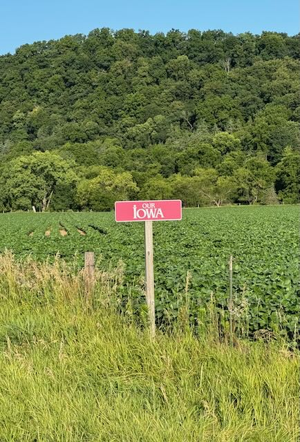
My first impression of Iowa is that it is beautifully green. People are friendly and genuine too.
Mostly today I biked south toward my immediate goal of Muscatine and made good progress. I had two long conversations with fellow cyclists encountered on the way, some from the UK and a retired US school teacher who bemoans the changes in agricultural practices occurring in the state where she grew up.
I arrived in Elkader where motels were fully booked, so I took what I believe was the last campsite in the city-run campground. (Plan ahead and make reservations for weekends, even in small towns.)
I found a small beer establishment with photos of the owner's Vanagan in Haight Ashbury and we talked at length about small town changes with growth of large-scale industrial farming. Elkader is protected in part because their major industry makes earth-moving equipment which with construction and road building remains in high demand.
Turns out Elkader, Wikipedia tells me, is named after a Muslim Algerian leader, the Emir Abdelkader. When the community was platted in 1846, the founders, Timothy Davis, John Thompson and Chester Sage decided to name it for the young Algerian who was leading his people in resisting the French conquest of Algeria. So my new friend in the beer establishment recommended the Algerian restaurant in town—all this unexpected for me in a NE Iowa small town.
Tomorrow I continue south toward Muscatine, 2 days away.
This corner of Iowa is hillier than most of the state, but after an early start and several climbs I ended up on a plateau that was quite flat. Turns out glaciers did reach this region. The NPS naturalist at the Effigy Mounds National Monument explained this in detail.
My first impression of Iowa is that it is beautifully green. People are friendly and genuine too.
Mostly today I biked south toward my immediate goal of Muscatine and made good progress. I had two long conversations with fellow cyclists encountered on the way, some from the UK and a retired US school teacher who bemoans the changes in agricultural practices occurring in the state where she grew up.
I arrived in Elkader where motels were fully booked, so I took what I believe was the last campsite in the city-run campground. (Plan ahead and make reservations for weekends, even in small towns.)
I found a small beer establishment with photos of the owner's Vanagan in Haight Ashbury and we talked at length about small town changes with growth of large-scale industrial farming. Elkader is protected in part because their major industry makes earth-moving equipment which with construction and road building remains in high demand.
Turns out Elkader, Wikipedia tells me, is named after a Muslim Algerian leader, the Emir Abdelkader. When the community was platted in 1846, the founders, Timothy Davis, John Thompson and Chester Sage decided to name it for the young Algerian who was leading his people in resisting the French conquest of Algeria. So my new friend in the beer establishment recommended the Algerian restaurant in town—all this unexpected for me in a NE Iowa small town.
Tomorrow I continue south toward Muscatine, 2 days away.
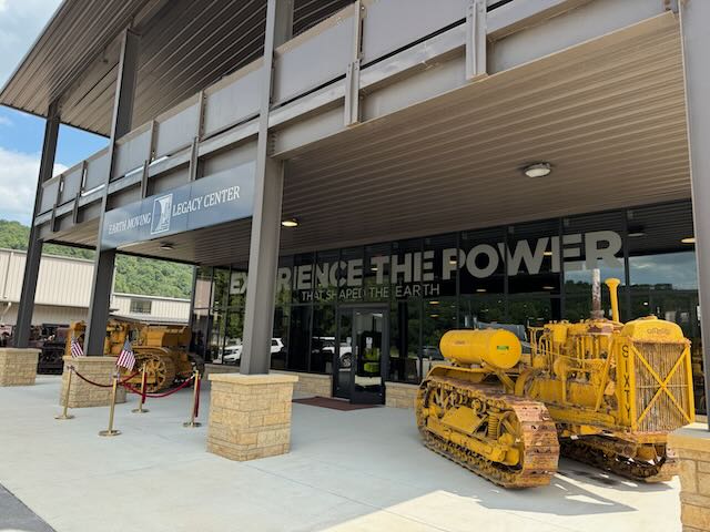
The earthmoving equipment museum
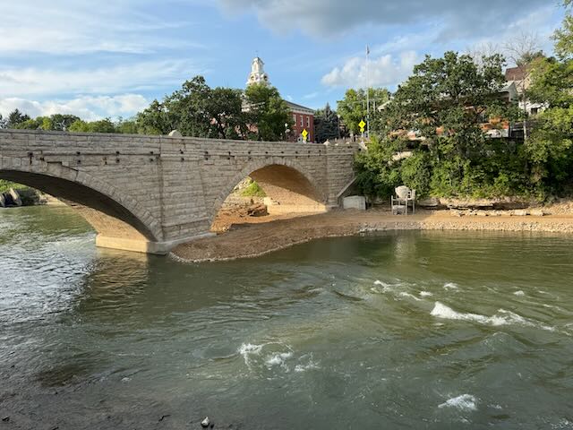
View of Elkader from the deck of my Algerian restaurant.
